Digital farming
Digital farming

By AutoTrader Commercial
Not so long ago, if a farm had a reliable source of electricity and cellular signal, it was considered quite advanced. This is no longer the case, with more and more technological advancements being made each day. The agricultural field is finding new ways to digitise agricultural tasks and activities.
Satellite scanning
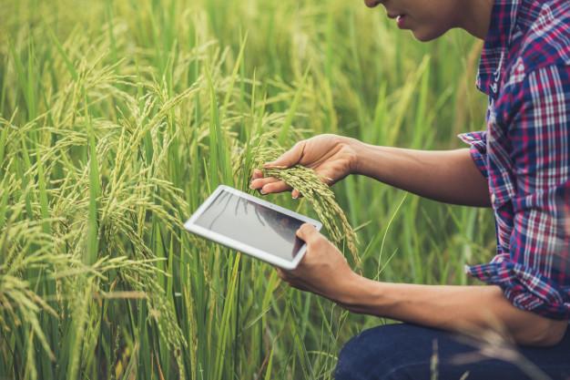
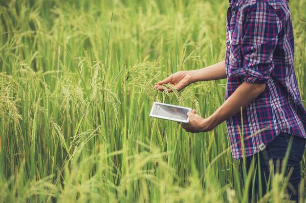
One of these digital solutions is Sentinel-2 earth observation technology. As part of a Department of Agriculture initiative in the Western Cape, to embrace the fourth industrial revolution, this initiative grants access to farmers freely to satellite images with 10-20m spatial resolution. The Sentinel-2 forms part of the Copernicus Programme which was developed and currently executed by the European Space Agency. The programme, focused on performing terrestrial observations, provides accurate and recent data with a five-day revisit frequency to a wide range of service users including the agricultural sector.
The data which gives farmers access to near real time data pertaining to the condition of their crops, will enable farmers to make informed decisions on actions taken due to natural disaster damage, fire scar extents, drought, crop failure and pest and disease damage.
The ability to compare data will also enable farmers to make assessments on resource use to combat the impact of climate change. The information is accessed on an online portal, which was developed by the department of agriculture, to simplify the process for non-specialist users. Previously satellite images would only be available in catalogs and the farmers would have to browse timelessly through mountains of data in order to acquire information relevant to their farm or region. Farmers would also have to purchase expensive and complex software in order to browse and archive relevant information; this is no longer the case.
Moving to the cloud
While Sentinel-2 use cloud based services to streamline workflow, tools like the CapeFarmMapper are in the process of moving over to the latest platform. This will allow for technology pertaining to agriculture, to become affordable and easily accessible which will see the agriculture sector embracing the fourth industrial revolution.
“The Sentinel-2 portal is a free-access space where ground breaking satellite imaging technology can be accessed and used to develop agriculture, respond to disasters and study the impacts of climate change. By making these tools available, the Department is contributing towards sustainable farming and the development of a food-secure province through the intelligent use of technology.” Beverley Schafer, Minister of Economic Opportunities.
Drone farming
The Sentinel-2 portal, however, is not the only way farmers are using technology to their advantage. A recent trend has emerged where farmers use unmanned aerial vehicles or more commonly known as drones, to inspect crops or simplify the process of counting livestock. Fitted with advanced camera technologies, drones can be used to produce precise 3-D maps for early soil analysis, useful in planning seed planting patterns. After planting, soil analysis provides data for irrigation and nitrogen-level management. Some innovative companies has also started to develop drones which is able to shoot seeds enclosed with nutrients in pod like containers, this will allow farmers to plant seeds using drones and could decrease the cost of planting by as much as 85 per cent.
Drones can also be used for tasks such as crop spraying, using LiDAR distance-measuring equipment, drones can navigate crops and follow the typography of the field without human input. This enables drones to accurately spray crops without using excessive amounts of pesticides; this will reduce the cost of crop spraying while also reducing the amount of chemicals penetrating groundwater sources and complete the task up to five times faster than the conventional methods.
The unmanned vehicles also provide an answer to one of the largest obstacles in farming, crop or livestock monitoring. With farms traditionally vast, farmers have to travel great amounts of kilometres and sometimes with expensive specialised vehicles, these factors including unpredictable weather conditions can make this task one of the most challenging and expensive during each cycle. Drones abled to be programmed to follow certain routes can execute the task with ease and even multiple times per day which becomes a more efficient option.
Harvesting information
If the drone is fitted with hyper-spectral, multispectral or thermal sensors, it can provide the farmer detailed information pertaining to their crops, even which parts of the crop might need additional irrigation. Detailed data can be provided which can be used to calculate the crop health, density and even predict harvest volumes.
With climate change and weather conditions becoming ever more unpredictable, farmers have to adapt using all the technology on offer to their advantage. The tools mentioned we mention above are but only a few of the methods in which farmers have to their disposal.
And with the ever growing population and demand for produce, farmers, scientist and technologists are continuously exploring to find tools which can increase harvest volumes and consistency while providing efficient tools to overcome daily challenges faced in the agriculture sector.